
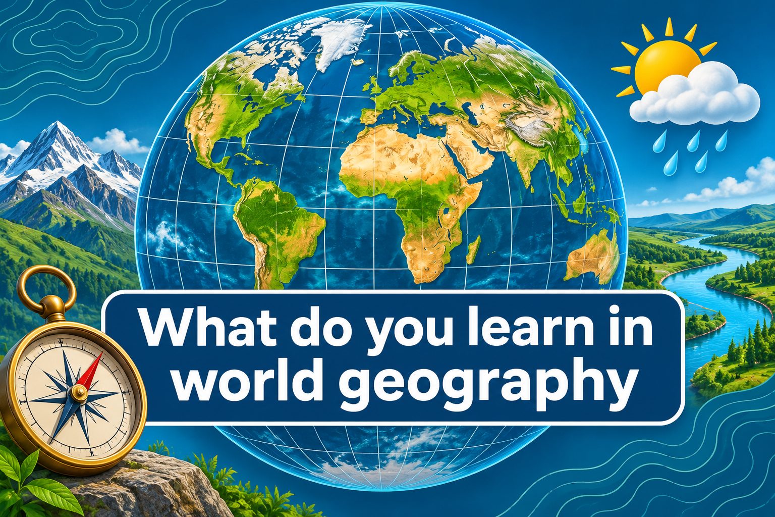
What do you learn in world geography, and how does that knowledge help you outside the classroom? World geography teaches far more than the locations of countries and capitals. It explores Earth’s physical features, climates, cultures, populations, resources, economies, and political regions. It also examines how people interact with their environments and how places are connected through migration, trade, technology, and shared challenges. By studying these relationships, you learn why communities develop differently and how location influences daily life. A world geography course typically combines map skills, regional studies, human geography, physical geography, and current global issues. Whether you are a student preparing for a class or simply curious about the world, geography provides a practical framework for interpreting places, events, and cultural differences. This guide explains the major topics, learning process, benefits, examples, common mistakes, best practices, real-world uses, and questions associated with studying world geography.
What World Geography Means
World geography is the study of places, people, environments, and the relationships connecting them across Earth. It brings physical and human subjects together rather than treating countries as isolated collections of facts.
Physical geography examines natural features and processes, including mountains, rivers, oceans, weather, climate, ecosystems, and natural hazards. These topics explain how Earth’s landscapes form and why environmental conditions vary between regions.
Human geography focuses on population, culture, language, religion, settlement, economics, politics, and migration. It considers how societies organize space, use resources, build communities, and influence their surroundings.
Regional geography combines these perspectives to study particular areas, such as Latin America, Southeast Asia, or North Africa. A regional approach helps learners see how climate, history, culture, and economic activity interact within one place.
World geography also examines connections between locations. Products, information, money, people, and ideas regularly cross borders. Studying these movements reveals why an event in one region can affect communities thousands of miles away.
Most importantly, geography teaches a way of thinking. Learners ask where something is located, why it is there, how it relates to other places, and what consequences its location creates.
Core Topics In World Geography
A typical course introduces several connected fields. Each one provides a different lens for examining Earth and the people who live on it.
1. Maps And Spatial Thinking
Students learn to read political, physical, thematic, and topographic maps. They interpret scale, direction, symbols, coordinates, distance, and map projections. Spatial thinking then helps them recognize patterns, compare locations, and explain why activities or features are distributed in particular ways.
2. Landforms And Earth Processes
Physical geography covers mountains, plains, plateaus, valleys, deserts, rivers, and coastlines. Students investigate how plate movement, erosion, weathering, and water shape these features. This knowledge helps explain settlement patterns, transportation routes, farming conditions, and exposure to natural hazards.
3. Weather And Climate
Learners examine temperature, precipitation, seasons, wind, ocean currents, and climate zones. They discover why latitude, elevation, landforms, and proximity to water affect regional conditions. They may also evaluate how climate influences vegetation, agriculture, housing, clothing, and economic choices.
4. Population And Migration
Population geography explores where people live, how populations change, and why density differs among regions. Students study birth rates, life expectancy, urbanization, immigration, and displacement while considering the economic, political, environmental, and personal reasons that encourage people to move.
5. Culture And Identity
World geography introduces languages, religions, traditions, ethnic groups, foodways, and cultural landscapes. The goal is not to memorize stereotypes but to examine how cultural practices develop, spread, change, and contribute to the identities of individuals, communities, and regions.
6. Resources And Economic Activity
Students study how societies obtain and use water, energy, minerals, forests, soil, and other resources. They also compare agriculture, manufacturing, services, trade, development, and standards of living, paying attention to how access and distribution affect opportunities.
How Geographic Regions Are Studied
Geographers divide the world into regions to make comparison easier. However, regional boundaries depend on the question being asked and are not always fixed.
1. Physical Regions
Physical regions share natural characteristics such as climate, vegetation, elevation, or drainage. The Sahara, Amazon Basin, and Himalayan mountain system are examples. Studying these areas reveals how natural systems extend across political borders and influence several countries at once.
2. Cultural Regions
Cultural regions are connected by characteristics such as language, religion, history, food, or shared traditions. Their boundaries can overlap and change over time. Students learn to use cultural regions carefully because diversity exists within every broad cultural category.
3. Political Regions
Political regions include countries, states, provinces, territories, and alliances governed through formal boundaries or agreements. Geography courses examine how borders emerged, why some remain disputed, and how political decisions affect movement, identity, resources, and international relationships.
4. Economic Regions
Economic regions may be defined by industries, trade relationships, income levels, or employment patterns. A manufacturing belt, agricultural zone, or trading bloc can form an economic region. These areas show how production and markets connect locations with different resources and skills.
5. Urban And Rural Regions
Urban and rural areas differ in population density, land use, infrastructure, employment, and access to services. Students compare these spaces while exploring suburban growth, transportation, housing, rural livelihoods, and the movement of people between countryside and cities.
6. Perceptual Regions
A perceptual region exists because people believe an area has a shared identity. Its boundaries may be informal or debated. Studying such regions teaches students that geography includes human perceptions, personal experience, media representation, and emotional attachment to place.
Essential Map Skills You Learn
Maps are tools for analysis, not merely pictures to memorize. Strong map skills help students locate information, detect patterns, and evaluate geographic claims.
- Location: Latitude and longitude identify absolute position, while relative location describes where a place is compared with another place.
- Scale: Scale shows the relationship between distance on a map and distance on Earth, allowing readers to estimate size and travel distance.
- Direction: Cardinal and intermediate directions help readers describe movement, orientation, and the position of geographic features.
- Symbols: Legends explain the colors, lines, shapes, and marks representing roads, borders, elevation, population, or other information.
- Projection: Every flat world map distorts some combination of area, shape, distance, or direction, so readers must consider its purpose.
- Data Patterns: Thematic maps reveal patterns involving climate, population, resources, health, economics, elections, and many other subjects.
Why Learning World Geography Matters
Geographic knowledge makes unfamiliar places and international events easier to interpret. It also encourages informed, respectful engagement with people whose experiences differ from your own.
1. It Builds Global Awareness
Knowing where places are and how they are connected gives context to news, history, economics, and politics. Instead of viewing an event as an isolated headline, a geographically informed reader can consider neighboring countries, terrain, resources, population, and regional relationships.
2. It Develops Critical Thinking
Geography asks learners to compare evidence, identify patterns, interpret data, and examine cause and effect. A single issue may have environmental, cultural, political, and economic dimensions, so students practice evaluating several explanations instead of accepting one simple answer.
3. It Encourages Cultural Respect
Studying cultures can challenge assumptions and reveal the diversity within regions. Learners see that customs often make sense within particular historical and environmental settings. This perspective supports curiosity and respect without suggesting that every member of a group behaves identically.
4. It Explains Environmental Challenges
Many environmental problems are geographic because they involve location, resources, land use, and movement across boundaries. Geography helps students examine climate change, water scarcity, deforestation, pollution, habitat loss, and the unequal effects these problems have on communities.
5. It Improves Travel Decisions
Travel becomes more meaningful when you can interpret climate, terrain, transportation, language, customs, and regional history. Geographic knowledge also supports practical preparation, including choosing suitable clothing, estimating distances, respecting local expectations, and recognizing environmental or seasonal conditions.
6. It Supports Career Skills
Spatial analysis is valuable in urban planning, logistics, environmental science, public health, education, business, emergency management, tourism, and government. Even careers without “geography” in their titles may require regional awareness, map interpretation, data analysis, or cross-cultural communication.
How To Learn World Geography Effectively
A structured process makes geography easier to remember. The following steps move from basic location knowledge toward deeper analysis and practical application.
- Start With A World Map: Learn continents, oceans, major countries, and broad physical features before focusing on smaller details.
- Study One Region At A Time: Connect neighboring countries rather than memorizing unrelated names from across the world.
- Combine Physical And Human Facts: Relate climate and landforms to population, food production, cities, transport, and culture.
- Use Several Map Types: Compare political, physical, climate, population, and economic maps to discover relationships.
- Practice Active Recall: Label blank maps, explain concepts aloud, and answer questions without immediately checking notes.
- Follow Relevant Events: Locate places mentioned in current events and review their neighbors, physical setting, and regional importance.
- Create Comparisons: Compare two places by climate, population, culture, resources, government, and economy.
- Review At Intervals: Return to earlier material regularly instead of relying on one long memorization session.
Examples Of Geographic Connections
Real examples show why world geography is about relationships rather than disconnected facts. They demonstrate how physical conditions and human choices continually influence each other.
1. Rivers And Early Settlements
Many settlements developed near rivers because water supported drinking, irrigation, transportation, fishing, and fertile farmland. Rivers could also flood or create political disputes. This example demonstrates how one physical feature can produce both opportunities and serious challenges.
2. Mountains And Transportation
Mountain ranges can limit travel, separate cultural groups, affect rainfall, and influence political boundaries. Passes, tunnels, and valleys often become important transportation routes. Modern engineering reduces some barriers, but elevation and steep terrain still shape movement and settlement.
3. Climate And Agriculture
Temperature, rainfall, soil, and growing seasons affect which crops thrive in a region. Farmers adapt through irrigation, crop selection, greenhouses, or seasonal timing. Markets and technology matter too, showing that agriculture results from interaction between nature and human decisions.
4. Ports And Global Trade
Coastal cities with sheltered harbors often become trade centers because ships can move large quantities of goods efficiently. Successful ports may attract workers, industries, roads, and railways. Their importance also depends on political stability, infrastructure, and access to inland markets.
5. Natural Hazards And Cities
Some large cities are located near earthquake zones, volcanoes, floodplains, or storm-prone coasts. People remain because these places may offer jobs, fertile soil, transport access, or cultural ties. Geography examines both hazard exposure and a community’s capacity to prepare and recover.
6. Migration And Cultural Change
When people migrate, they carry languages, foods, beliefs, skills, and traditions to new locations. Their arrival can reshape neighborhoods and economies while migrants also adapt to their destination. This process illustrates how movement connects places and transforms cultural landscapes.
Practical Uses Of World Geography
Geographic learning becomes especially valuable when applied to daily choices, professional decisions, and public issues.
1. Planning A Journey
A traveler uses geography to compare routes, seasons, time zones, terrain, transportation systems, and cultural expectations. These details influence cost, safety, comfort, and scheduling. Even a simple trip becomes easier when distances and regional conditions are interpreted accurately.
2. Interpreting World News
News reports frequently assume that readers recognize borders, regions, alliances, waterways, and resource locations. Looking at a map and reviewing regional context can clarify why an event matters, which communities are involved, and how its effects may spread.
3. Choosing Business Locations
Businesses consider proximity to customers, workers, suppliers, transport, energy, and raw materials. Geographic analysis helps decision-makers compare locations and anticipate risks. Climate hazards, regulations, infrastructure, and regional purchasing power can all influence whether a location succeeds.
4. Preparing For Emergencies
Emergency planners map flood zones, evacuation routes, hospitals, population density, and vulnerable communities. This information supports faster and fairer responses to storms, fires, earthquakes, and disease outbreaks. Geography can reveal where resources are needed before a crisis occurs.
5. Managing Natural Resources
Governments and communities use geographic information to manage forests, water, farmland, wildlife, minerals, and energy. Effective decisions require knowledge of resource locations, rates of use, environmental impacts, and the needs of people who depend on those resources.
6. Making Responsible Consumer Choices
Products have geographic stories involving raw materials, factories, labor, transportation, and markets. Learning about supply chains helps consumers recognize how purchasing choices connect them with distant places, environmental pressures, working conditions, and international trade systems.
Common World Geography Mistakes To Avoid
Several habits can make geography seem simpler than it is. Avoiding them leads to more accurate knowledge and stronger analysis.
1. Memorizing Without Context
Country names and capitals are useful, but isolated memorization fades quickly and offers limited insight. Connect every location with neighboring places, physical features, culture, history, or current issues. Meaningful relationships make information easier to remember and apply.
2. Treating Maps As Perfect
Every map is selective and every projection introduces distortion. A map may emphasize borders, resources, or population while leaving out other information. Always consider its purpose, scale, date, data source, and the choices made by its creator.
3. Assuming Regions Are Uniform
Large regions contain substantial cultural, economic, political, and environmental diversity. Describing an entire continent or country with one label creates misleading generalizations. Look for variation within places, including differences between cities, rural areas, generations, and social groups.
4. Ignoring Change Over Time
Borders, city populations, economic patterns, place names, and environmental conditions can change. Older information may provide historical context but should not automatically be treated as current. Pay attention to dates and compare sources when studying changing geographic conditions.
5. Confusing Weather With Climate
Weather describes short-term atmospheric conditions, while climate describes long-term patterns. One cold day does not disprove a warming trend, and one storm does not define a region’s climate. Keeping the difference clear improves environmental reasoning and data interpretation.
6. Using Cultural Stereotypes
Geography should deepen cultural knowledge, not reduce people to fixed traits. Avoid assuming that nationality determines personality, beliefs, or behavior. Use evidence, recognize internal diversity, and describe cultural patterns as tendencies shaped by context rather than universal rules.
Best Practices For Studying World Geography
Good study habits combine visual learning, active practice, comparison, and regular review. They turn geographic facts into useful knowledge.
1. Ask Geographic Questions
For every topic, ask where it occurs, why it occurs there, how it connects with other places, and why it matters. These questions move learning beyond recall and encourage the spatial reasoning used by geographers, planners, and researchers.
2. Compare Different Maps
Place climate, population, economic, and physical maps side by side. Similar patterns may suggest useful relationships, such as connections between rainfall and agriculture. Remember that correlation alone does not prove cause, so investigate historical and social factors as well.
3. Use Accurate Terminology
Learn distinctions such as country and continent, state and nation, weather and climate, immigration and emigration, or latitude and longitude. Precise vocabulary prevents confusion and makes it easier to explain geographic patterns clearly in discussions, assignments, and examinations.
4. Connect Facts To Places
Whenever you learn about a crop, religion, language, hazard, or industry, locate its distribution on a map. Visual placement creates stronger memories and may reveal clusters, boundaries, routes, or environmental conditions that ordinary notes do not show.
5. Review With Active Methods
Use blank maps, self-made questions, flashcards, summaries, and spoken explanations rather than repeatedly rereading a textbook. Trying to retrieve information strengthens memory. Correct mistakes immediately, then revisit difficult material after increasingly longer periods of time.
6. Check Your Assumptions
Notice when prior beliefs influence how you interpret a place. Compare reliable evidence, examine more than one perspective, and remain willing to revise your view. Intellectual curiosity is especially important when studying regions you have never visited personally.
World Geography Learning Checklist
A useful review should test both factual knowledge and the ability to explain relationships. Check whether you can complete the following tasks confidently.
- Locate Major Places: Identify continents, oceans, major countries, important cities, rivers, mountain systems, and strategic waterways.
- Read Common Maps: Interpret legends, scale, coordinates, direction, elevation, boundaries, and thematic data without guessing.
- Explain Physical Systems: Describe how climate, water, landforms, ecosystems, and natural hazards influence different regions.
- Explain Human Patterns: Discuss population, culture, migration, urbanization, economics, politics, and resource use.
- Connect Places: Show how trade, communication, migration, environmental processes, and political decisions link distant locations.
- Evaluate Information: Recognize map distortion, outdated data, misleading generalizations, and claims that lack sufficient geographic evidence.
Frequently Asked Questions
1. Is World Geography Mainly About Memorizing Countries?
No. Countries, capitals, and locations provide a useful foundation, but the subject emphasizes relationships and patterns. Students examine how physical environments, cultures, populations, resources, economies, and political systems interact. Memorization supports this analysis rather than serving as the final goal.
2. What Is The Difference Between Physical And Human Geography?
Physical geography studies natural features and systems, including climate, landforms, water, soils, and ecosystems. Human geography examines population, culture, migration, cities, politics, and economic activity. World geography connects both fields because people continually interact with natural environments.
3. Why Do Students Learn Latitude And Longitude?
Latitude and longitude provide a coordinate system for identifying absolute location on Earth. They help students locate places accurately, interpret maps, compare climate patterns, and describe position without relying on changing political boundaries or uncertain local descriptions.
4. How Can World Geography Help In Daily Life?
It helps people follow news, plan travel, interpret weather and environmental risks, communicate across cultures, and understand where products originate. Geographic thinking also improves decisions involving distance, location, transportation, resources, and the connections between local actions and global outcomes.
5. Is Geography Connected To History?
Yes. Terrain, climate, resources, waterways, and location have influenced settlement, trade, conflict, migration, and political development. Geography does not determine every historical outcome, but it provides essential context for explaining the opportunities and constraints societies faced over time.
6. What Is The Best Way To Remember Geography?
Combine repeated map practice with meaningful connections. Study regions in manageable groups, label blank maps, compare related data, and explain why places matter. Short review sessions spread over time generally build stronger memory than one long session focused only on memorization.
Conclusion
World geography teaches you to locate places, interpret maps, recognize physical systems, examine cultures, and explain patterns in population, economics, politics, and resource use. It also reveals how migration, trade, technology, and environmental processes connect communities across borders.
The subject becomes most valuable when facts are connected to real places and meaningful questions. By combining map practice, regional comparison, active recall, and careful analysis, you gain a clearer view of Earth and a practical way to interpret the complex world around you.
Discussion